“What can we see?” and “How do we get there?” are two of the most common questions asked by Smithsonian visitors. To help answer those questions before they are asked, the Smithsonian has collaborated with Google to map its indoor public spaces—17 museums and the National Zoo—for easier exploration.
Beginning today, many of the millions of yearly visitors to the Smithsonian can electronically explore the building interiors, floor by floor, and pinpoint themselves within the building. The technology allows visitors with Google Maps for Android to navigate within and between each museum.
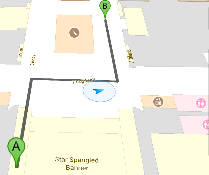
Users will see themselves on the map as a blue dot that will show their location and orientation within the context of exhibits, stairs, restrooms, eateries and other features. Step-by-step walking directions between destinations are also available within the app, providing visitors guided navigation within each museum.
“An increasing number of our visitors now turn to their mobile devices and familiar applications to help them find their way and get information about the Smithsonian,” said Nancy Proctor, head of mobile strategy and initiatives at the Smithsonian. “Indoor Google Maps helps us achieve our goal of putting the Smithsonian in their hands, both literally and figuratively.”
The mapped indoor spaces of the Smithsonian total more than 2.7 million square feet and include several hundred clickable points of interest and stand-alone objects, each of which can be tapped to set as a destination.
Mapped Smithsonian interiors include:
Washington, D.C.
- Anacostia Community Museum
- Arthur M. Sackler Gallery
- Freer Gallery of Art
- Hirshhorn Museum and Sculpture Garden
- National Air and Space Museum, National Mall Building
- National Museum of African Art
- National Museum of American History
- National Museum of Natural History
- National Museum of the American Indian
- National Portrait Gallery
- National Postal Museum
- National Zoological Park
- Renwick Gallery
- S. Dillon Ripley Center
- Smithsonian American Art Museum
- Smithsonian Institution Building (“The Castle”)
Outside Washington, D.C.
- National Air and Space Museum, Steven F. Udvar-Hazy Center (Chantilly, Va.)
- National Museum of the American Indian, George Gustav Heye Center (New York City)
The Smithsonian and Google will continue to increase the level of exhibit detail and the number of features in the maps to help visitors explore their surroundings with ease. Indoor Maps is available on recent versions of Google Maps for Android (Android 2.2 or above and Google Maps for Android 6.0 or above). More information about Indoor Google Maps is available on the official Google blog post.
About the Smithsonian
Founded in 1846, the Smithsonian is the world’s largest museum and research complex, consisting of 19 museums and galleries, the National Zoological Park and nine research facilities. The total number of objects, works of art and specimens at the Smithsonian is estimated at 137 million.
# # #
SI-323-2012